Omaha Beach
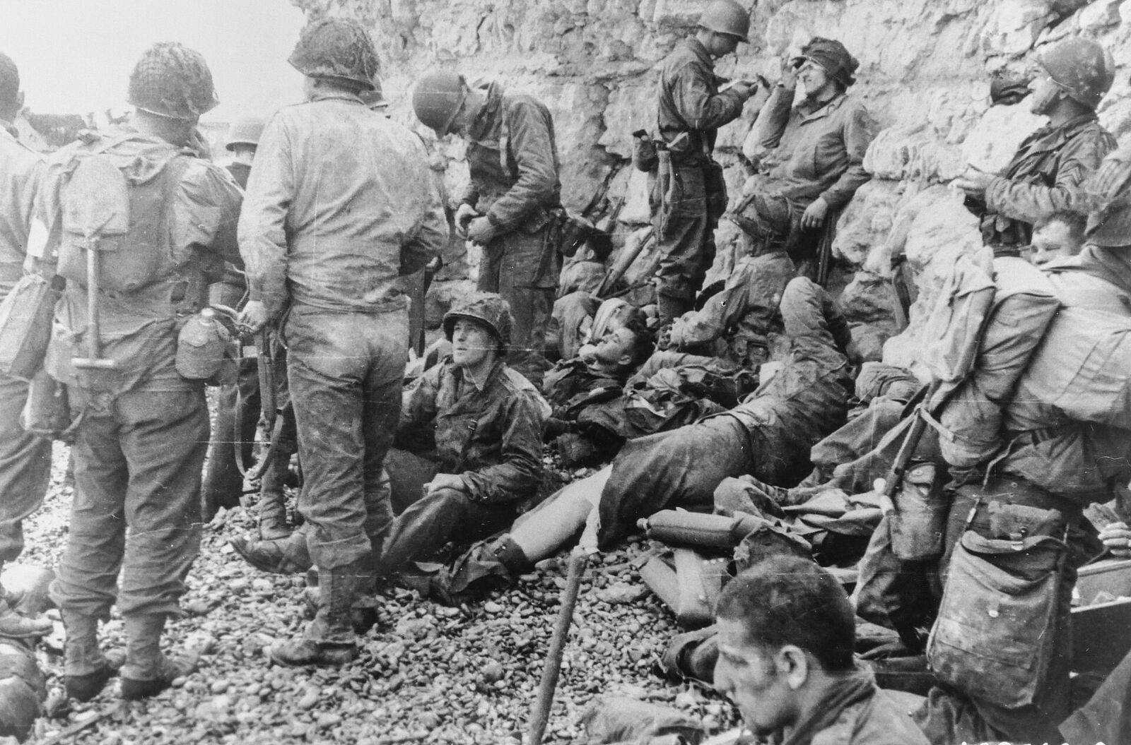
The bloodiest of the five D-Day landing beaches, codenamed Omaha, stretched roughly eight kilometres between Sainte-Honorine-des-Pertes and Vierville-sur-Mer. American troops of the 1st and 29th Infantry Divisions faced fierce fire from the bluffs on 6 June 1944. Today the wide sands are marked by the sculpture Les Braves and a string of memorials.
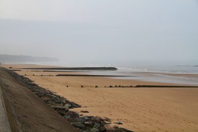
Stand at the water's edge here at low tide and the first thing that registers is the distance. At low water the sea pulls back some three hundred metres, leaving a flat, shining expanse of firm sand with almost no cover, overlooked by bluffs thirty to fifty metres high. Every man who came ashore on the morning of 6 June 1944 had to cross that open ground on foot, under fire from an enemy he mostly could not see. Knowing this is what turns a pleasant, breezy beach into one of the most sobering places in Normandy.
What happened on the sand
Omaha was assaulted by the American 1st and 29th Infantry Divisions - the 16th Regiment on the eastern half, the 116th to the west - supported by Rangers and by amphibious "DD" swimming tanks. Almost nothing went to plan. Most of the DD tanks launched too far out foundered in the rough sea before reaching shore, so the infantry arrived without the armour meant to shield them. The pre-landing bombardment had largely missed the beach defences. Currents and smoke pushed landing craft off their marks, dumping men in the wrong sectors, leaderless and soaked, at the foot of the bluffs.
The Germans had built the beach into a killing ground. Fire came not head-on but in enfilade - angled along the sand from concrete strongpoints, the Widerstandsnester, sited in the folds of the bluff so their guns swept the beach lengthwise. For hours the assault stalled at the shingle bank. What eventually broke the deadlock was not the plan but improvisation: small groups of survivors, gathered up regardless of unit by officers like Brigadier General Norman Cota, blew gaps in the wire with Bangalore torpedoes and climbed the bluffs between the defended draws, taking the strongpoints from behind. By nightfall the beachhead was thin, costly and precarious - but it held.
Reading the ground from WN-62
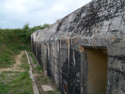
To understand why the beach cost so much, walk up to WN-62 above Colleville-sur-Mer, the best-preserved German position on Omaha. Its concrete casemates, shelters and circular Tobruk pits survive, and from the observation bunker you get the gunners' own view: the whole sweep of sand laid out below, with no angle from which an attacker could not be seen. This was the post of Heinrich Severloh, a young machine-gunner who fired for most of the day and was later given the lurid nickname "the Beast of Omaha"; the enormous casualty figures attached to him are disputed, but standing where he stood, the beach's murderous geometry needs no exaggeration.
On the strongpoint today stand two American memorials: a monument to the 5th Engineer Special Brigade atop a casemate, and the grey stone obelisk of the 1st Infantry Division - the "Big Red One" - inscribed with the names of its dead and the words "No Mission Too Difficult, No Sacrifice Too Great, Duty First."
What to see today
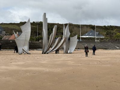
The beach is walkable end to end, and orientation rewards you. At its centre, on the sands off Saint-Laurent-sur-Mer, stands Les Braves, Anilore Banon's steel sculpture unveiled for the sixtieth anniversary in 2004 - three tall elements named the Wings of Hope, Rise Freedom!, and the Wings of Fraternity, rising straight from the beach where the tide washes around them.
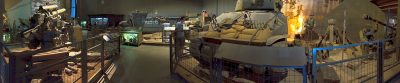
At the western end, at Vierville-sur-Mer, look for the D-1 draw, the vital road exit off the beach. The bulky German casemate that guarded it, WN-72, still stands with a National Guard monument built on top, and nearby the "Ever Forward" statue honours the 116th Regiment. The small Musée Mémorial d'Omaha Beach, a few hundred metres back, fills in the human detail with uniforms, weapons and vehicles. Give yourself time, and walk the sand itself - the distance from tide to bluff tells the story better than any plaque.
Practical notes
The beach is open access and free, with no gate and no closing time. Approach it by the three seafront draws - Vierville (D-517), Saint-Laurent and Colleville - each of which has a car park and steps or a ramp down to the sand. Allow two to three hours to do the beach justice: an hour on the sand itself, and an hour above it at the strongpoint and the memorials.
Underfoot it is easy going. The sand is flat and firm at low tide and the seafront promenades are level, so the beach itself is manageable with a wheelchair or a pushchair; the climb up to WN-62 and the bluff paths are steep, uneven and unsurfaced. Check the tide before you come, because the three-hundred-metre expanse that makes the place legible only appears at low water.
Almost everyone pairs Omaha with the Normandy American Cemetery directly above it on the bluff, which takes at least another hour. If you have a full day, the Overlord Museum sits beside the cemetery approach, and Pointe du Hoc is fifteen minutes west.
More in the Omaha Beach sector
View on mapAtlantic Wall Batteries (3) · War Cemeteries (2) · D-Day Museums (1) · Memorials & Monuments (1) · Mulberry Harbour Remains (1) · Liberation Villages (4)
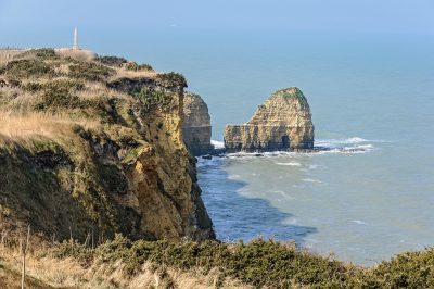
Pointe du Hoc
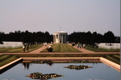
Normandy American Cemetery
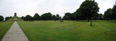
La Cambe German War Cemetery
Overlord Museum
Maisy Battery
Les Braves
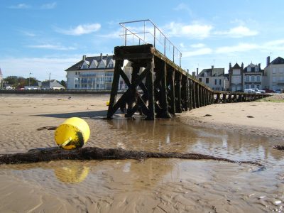
Mulberry Harbour, Omaha
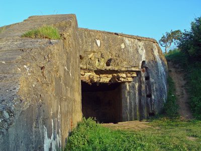
Widerstandsnest 62
Grandcamp-Maisy
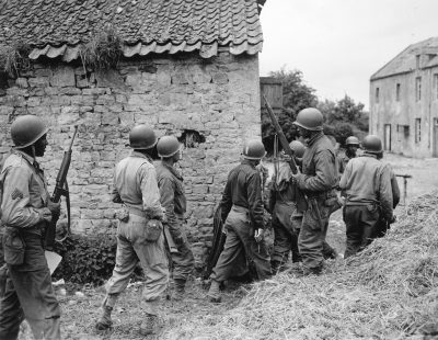
Vierville-sur-Mer
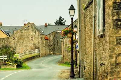
Colleville-sur-Mer
Saint-Laurent-sur-Mer
Pointe du Hoc
Atlantic Wall Batteries
Normandy American Cemetery
War Cemeteries
La Cambe German War Cemetery
War Cemeteries
Overlord Museum
D-Day Museums
Show all 12 Show less
Maisy Battery
Atlantic Wall Batteries
Les Braves
Memorials & Monuments
Mulberry Harbour, Omaha
Mulberry Harbour Remains
Widerstandsnest 62
Atlantic Wall Batteries
Grandcamp-Maisy
Liberation Villages
Vierville-sur-Mer
Liberation Villages
Colleville-sur-Mer
Liberation Villages
Saint-Laurent-sur-Mer
Liberation Villages