Villers-Bocage
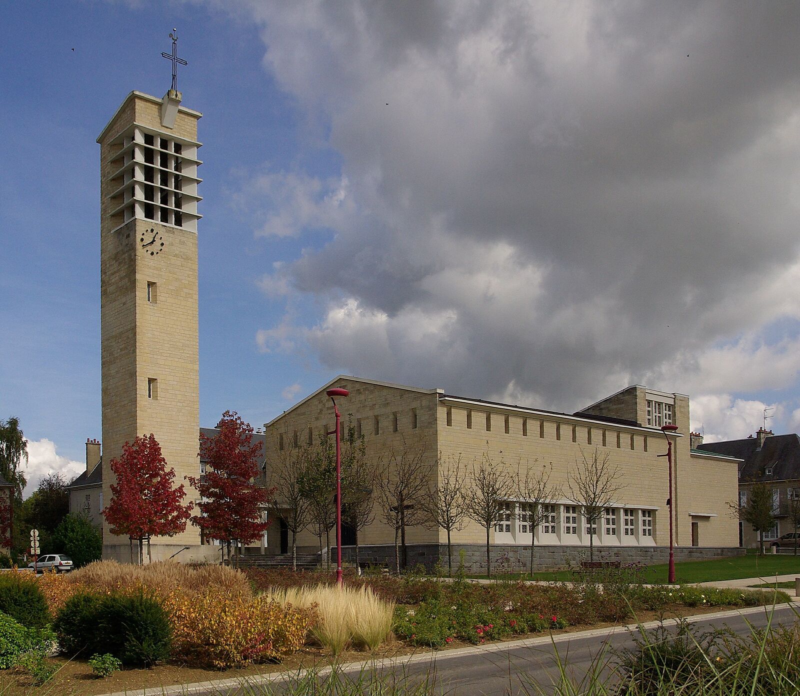
A small bocage town where, on 13 June 1944, German Tiger tank ace Michael Wittmann wrecked a British armoured column in minutes. The action, and the town's later destruction by bombing, came to symbolise the grinding difficulty of fighting in the Normandy hedgerows.
Few places crystallise the frustration of the Normandy campaign quite like Villers-Bocage. In early June 1944 this quiet market town, sitting on a ridge road southwest of Caen, briefly became the hinge of a British attempt to outflank the city. Within a single morning that ambition collapsed, and the fighting that followed left the town in ruins. What you see today is almost entirely rebuilt, but the ground still explains the disaster better than any book.
What happened here
On 13 June, as part of Operation Perch, the 7th Armoured Division - the famous "Desert Rats" - pushed into Villers-Bocage hoping to turn the German flank west of Caen. The leading regiment, the 4th County of London Yeomanry, rolled through the town at first light and sent its forward squadron up the road toward a low rise east of town known as Point 213.
That column never reached its objective in strength. A single German Tiger tank, commanded by SS officer Michael Wittmann of a heavy panzer battalion, was hidden in cover near the road. In a matter of minutes he knocked out the head and tail of the stalled British column and then drove along it, destroying roughly a dozen tanks and a string of half-tracks, carriers and other vehicles. The forward squadron up at Point 213 was cut off and, after being surrounded, was largely captured.
Wittmann then pushed into the town itself, where his luck ran out. British tanks and anti-tank guns, waiting among the streets and the main square, disabled his Tiger; he abandoned it and escaped on foot. Contrary to the legend of a lone tank winning a battle single-handed, the town fight was a closer-run affair, and several German tanks were knocked out in the streets. But with pressure building from all sides and no reinforcement forthcoming, the British pulled out of Villers-Bocage that evening.
The town paid for it. Over the following days heavy RAF bombing, meant to break up German concentrations, flattened most of what remained. By the time British troops finally entered for good in early August, the great majority of the buildings - by some counts around 85 percent - had been destroyed. French civilians were among the dead throughout.
What to see today
The Villers-Bocage you walk through now is a post-war town: wider streets, clean Reconstruction-era facades, little that predates 1944. That newness is itself the memorial, and it is worth pausing to register how total the destruction must have been.
Start at Place du Maréchal Leclerc, the long central square by the Hôtel de Ville. Walk its length and you are tracing the axis of the street fighting. Wittmann's Tiger was finally stopped near here, close to where a clothing shop, the Huet-Godefroy store, once stood - a useful anchor point, since the original buildings are gone. Interpretive panels around the centre, in several languages, mark the key spots of 13 June; they reward a slow circuit on foot rather than a drive-through.
On the approach into town from the Caen direction stands a memorial to the 7th Armoured Division, asking visitors to remember with pride and gratitude those who fought and died here for freedom. The central war memorial honours both the soldiers and the town's own civilian dead.
To understand the ambush, head east out of the centre along the old main road toward Point 213. There is no dramatic monument on the rise, but the gently enclosed, hedge-lined bocage country - the same close terrain that swallowed the parallel British attacks around Tilly-sur-Seulles to the north - opens out here in a way that makes the trap obvious: a long, exposed column on a single road, and a concealed gun with all the time it needed. A small local museum in the town covers the battle and Operation Perch with photographs, maps and personal accounts, and makes a good first or last stop.
Practical notes
The main road from Caen runs straight through Villers-Bocage, and the town announces itself with the long central square. Park there, or in one of the side streets off it, and do the rest on foot: the interpretive panels, the war memorial and the axis of the street fighting are all within a few hundred metres of the square, and the town is far easier to read at walking pace than through a windscreen.
Allow an hour for a slow circuit of the centre, and half as long again if you take in the museum or drive out along the old road toward Point 213. The town is free to walk and the memorials are open access.
The centre is level and paved throughout, with dropped kerbs and wide Reconstruction-era pavements, so it suits a wheelchair or a pushchair better than most battlefield stops in Normandy. Point 213 is the exception: the rise is on a working road with no pavement for part of the way, so drive it rather than walk it, and pull in somewhere sensible rather than stopping on the crest. To place the day inside the wider campaign, the Mémorial de Caen is about half an hour east, and Hill 112, where the same struggle for the high ground west of Caen was fought out at far greater cost, is closer still.