Chef-du-Pont
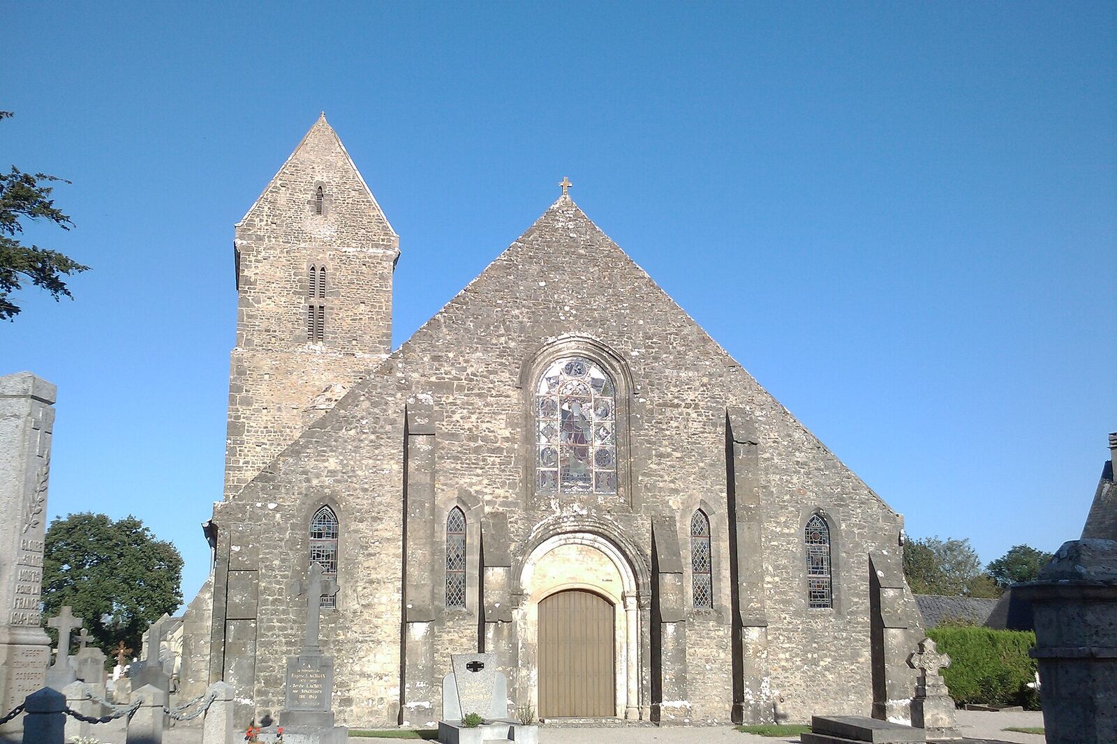
A small village south-west of Sainte-Mère-Église where the US 82nd Airborne fought on 6-7 June 1944 to seize a bridge and causeway over the flooded Merderet river, a crossing vital to linking the airborne drop with the Utah Beach landings.
Most visitors racing between Sainte-Mère-Église and Utah Beach pass through Chef-du-Pont without slowing down. That is a pity, because this quiet village on the Merderet gave its name to one of the most stubborn small-unit stands of the American airborne landings - a fight decided not by regiments but by a few dozen exhausted men who refused to let go of a bridge.
Why a hamlet mattered
The German defenders had opened the sluices and flooded the low ground along the Merderet, turning what looked on Allied maps like ordinary farmland into a shallow lake. Two dry crossings survived: the causeway at La Fière and, a little to the south, the bridge and long raised causeway at Chef-du-Pont. Whoever held these controlled movement across the river - and the airborne divisions dropped inland on the night of 5-6 June needed them to link up with the seaborne troops coming ashore at Utah, roughly a dozen kilometres to the east. Capturing the crossings was among the 82nd Airborne's opening tasks under Operation Overlord.
The fight for the bridge
On the morning of 6 June, Brigadier General James Gavin peeled off a scratch force of around a hundred paratroopers - men from the 507th and 508th Parachute Infantry Regiments, scattered and intermixed by a wildly dispersed drop - under Lieutenant Colonel Edwin Ostberg, and sent them down the railway line toward Chef-du-Pont. They reached the station unopposed, but as they pushed for the bridge the Germans opened fire from the houses, hitting several men and forcing a slow, house-by-house clearance. In the final rush Ostberg was hit and fell into the river, from which he was pulled out alive.
The crisis came that evening. With a major German counter-attack developing at La Fière to the north, Gavin recalled most of the reinforcements, leaving Captain Roy Creek of the 507th holding the bridge with roughly thirty-four men. Direct artillery fire and pressure from elements of Grenadier-Regiment 1057 whittled them down to about twenty. Creek later recalled the moment a runner arrived with Gavin's order to "hold at all costs" - hardly welcome news to a handful of men already clinging on. Then two things turned the day: a C-47 dropped resupply bundles almost onto their position, and fresh troops arrived with an anti-tank gun that finally silenced the German artillery. A small party stormed across, and the last Germans trying to escape down the causeway were shot down on the open road. Creek's verdict on his ragtag command, most of them in combat for the first time, was characteristically dry: they had done okay - they had taken their bridge and held it. Days of hard fighting still lay ahead before the crossings were fully secure.
What to see today
The village is small and easily walked. The bridge over the Merderet was formally renamed for Roy Creek in 2000, with the veteran himself present, and a modest memorial marks his stand; he lived until 2016, dying at the age of ninety-eight. Stand on the bridge and look west along the causeway: this narrow raised road, water or marsh often lying on either side, is exactly the killing ground the paratroopers had to cross and hold. The valley is drained now, but in a wet season you can still read why a dry embankment was worth so many lives.
Follow the railway line north-west and you are walking the axis down which Ostberg's men advanced toward the station. Chef-du-Pont pairs naturally with La Fière and its "Iron Mike" memorial a short drive away, and the two crossings are best understood together - La Fière the famous set-piece, Chef-du-Pont the quieter, equally desperate flank. Come outside peak hours and you will likely have the bridge to yourself, which is the right way to take its measure.
Practical notes
Chef-du-Pont sits on the minor road west of the N13, a few minutes south of Sainte-Mère-Église, and the bridge is at the western edge of the village where the road leaves the houses and runs out onto the causeway. There is no visitor car park; people pull in on the verge near the memorial or leave the car in the village and walk down, which takes only a few minutes and is the better way to arrive.
Half an hour is enough unless you intend to walk a stretch of the causeway, in which case allow an hour. The village streets and the bridge road are flat and surfaced, so a wheelchair or a pushchair is manageable, with the caveat that there is no pavement at the bridge and farm traffic comes through at speed; keep well in. The riverbank and the field edges are rough, wet grass for much of the year and are not worth attempting on wheels. The site is open access and free, with nothing to book and nothing to close.
Do this one in the same run as the crossing at La Fière, a few minutes north, so the two crossings can be read against each other, and finish at Sainte-Mère-Église where the scattered drop that put these men in the wrong fields is told in full at the Airborne Museum.