Bourguébus
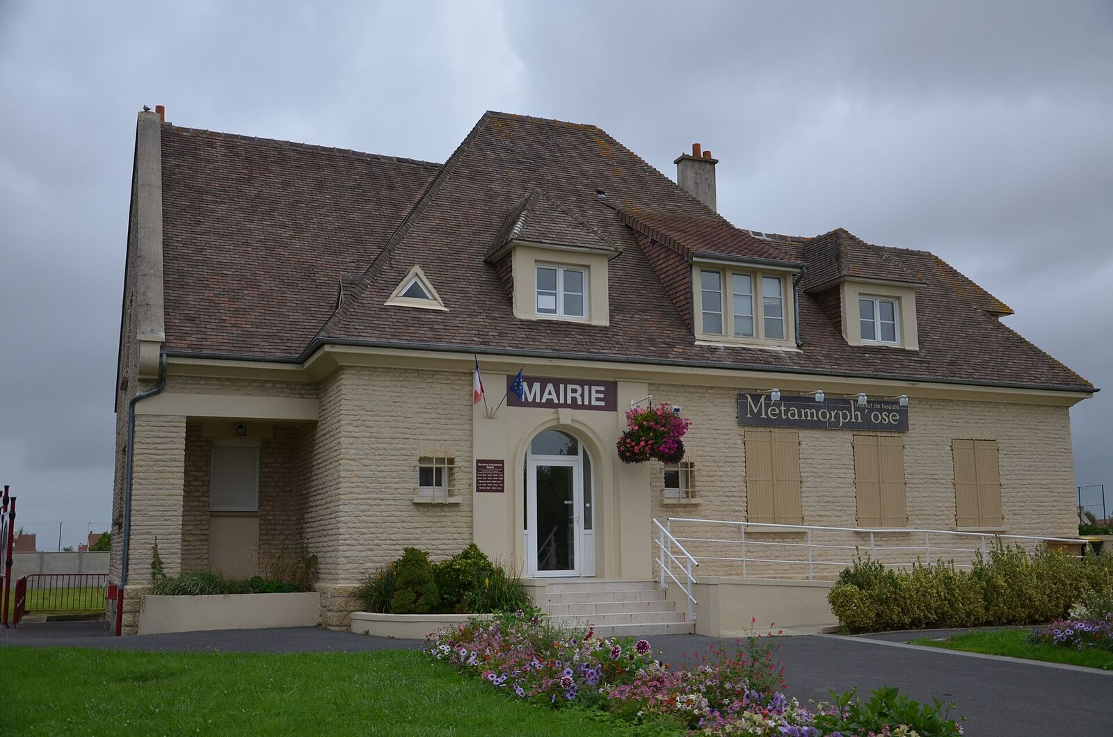
A village south-east of Caen on the ridge that was the objective of Operation Goodwood (18-20 July 1944). British armoured divisions suffered heavy losses on the open slopes here to a screen of concealed German anti-tank and 88 mm guns.
Today Bourguébus is a growing dormitory village on the southern edge of Caen, its new houses and roundabouts giving little away. But the low swell of farmland it sits on gave its name to one of the costliest days in the history of British armour. For 48 hours in July 1944 the gentle rise south-east of the city - the Bourguébus Ridge - was the objective that three armoured divisions could see, advance towards, and never quite take.
The killing ground
Operation Goodwood opened on 18 July 1944, launched from the cramped Orne bridgehead east of Caen. After a bombardment by hundreds of heavy bombers, the massed tanks of British VIII Corps - the 11th Armoured, the Guards Armoured and the veteran 7th Armoured "Desert Rats" - rolled south across open corn towards this ridge. The plan traded infantry support for speed and steel. The ground did the rest.
The plain here is deceptively flat, but it climbs just enough that gunners on the crest and its reverse slope could see for miles while remaining hidden themselves. The Germans, expecting exactly this axis, had layered the ridge in depth. Concealed among the villages strung along it - Bras, Hubert-Folie, Soliers, Grentheville - sat a screen of anti-tank guns, field artillery and Nebelwerfer rocket launchers, backed by the weapon the crews feared most: the 88 mm. Dual-purpose flak guns, sited to fire flat across the corn, could kill a Sherman well beyond the range at which it could reply.
The result was slaughter of machines. As the leading regiments crested into the open, tanks began to burn in rows, some units losing a dozen vehicles in minutes. Over the operation VIII Corps had more than 300 tanks knocked out, many on this first day - the heaviest armoured losses the British suffered in a single battle in Normandy. A famous episode belongs just to the north-east at Cagny, where a German officer is said to have compelled a Luftwaffe flak battery to swing its 88s down from the sky and onto the advancing armour, tearing into the flank of the attack.
By 20 July the divisions had pushed several miles but stalled below the crest; only armoured cars slipped beyond. Goodwood is still argued over - a failed breakthrough, or a deliberate magnet that pinned Germany's strongest panzer formations in the east while the Americans prepared to break out in the west. Both can be true. What is not in doubt is what it cost on these slopes.
What to see today
The village itself was largely destroyed and has been entirely rebuilt, so do not come expecting a preserved battlefield. Come instead to read the ground. Stand at the edge of the built-up area and look back north towards Caen: the long, shallow, open glacis the tanks had to cross is laid out in front of you, and the reason it was a death trap becomes obvious in a way no book conveys.
Opposite the Mairie (town hall) is a memorial stone to the events of 20 July 1944 and to the Allied troops who liberated the village - the natural place to pause. Nearby stand the ruined remains of the old Saint-Vigor church, left partly destroyed by the fighting and kept as a quiet marker of it.
To make sense of the wider action, drive the ring of villages that formed the German gun line - Bras, Hubert-Folie, Soliers, Grentheville and Cagny - ideally following the northward route the armour took from the Orne bridgehead up onto the plain. There are no grand museums here; the interest is in the topography and the ordinary farm fields, which are the real monument. On a clear day the sweep of the Caen-Falaise plain opens out to the south, the country the ridge was meant to unlock, and never did on schedule.
Practical notes
Bourguébus sits just off the N158, the fast Caen-Falaise road, and is a quarter of an hour south-east of Caen by car. This is a driving visit: park on the street near the Mairie, where the memorial stone stands, and use the village as a stop on a wider circuit rather than a destination in itself. Everything here is open access and free.
Half an hour is enough in the village. Give the full battlefield loop through Cagny, Soliers, Hubert-Folie and Bras half a day, and take a good map, because the interest lies in the ground between the villages rather than in any one marker.
The village streets are modern, flat and kerbed, so the memorial and the church ruin are straightforward to reach with a wheelchair or a pushchair. The viewpoints that make the battle legible, though, are field edges and farm tracks: they are muddy after rain, unsurfaced, and best approached from the roadside. Stay on the lanes and the verges, since this is working farmland. Bretteville-sur-Laize Canadian War Cemetery lies a short drive south and gives the campaign its human scale, while the Mémorial de Caen sets the whole summer's fighting in order.